
Local governments can reduce road maintenance costs with technology created by Honorable Mention winner of SICK’s TiM$10K Challenge
LiDAR technology has revolutionized how expensive problems can be solved. One such problem is road maintenance. Degraded road markings serve as a serious safety concern to all vehicles, and thus requires constant maintenance. The Senior Design team at Michigan Technological University (MTU) aimed to simplify this problem with their TiM$10K Challenge project, the Road Stripe Evaluator.
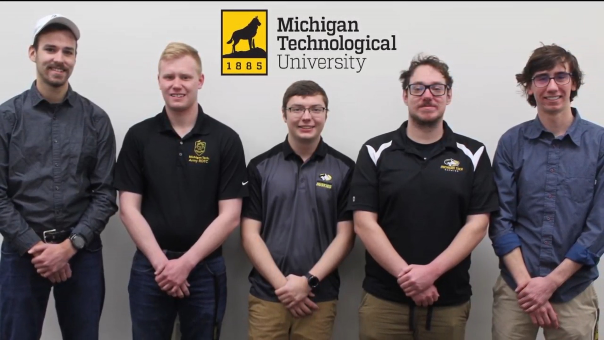
The team from MTU consisted of Brian Parvin, Paul Allen, David Brushaber, Alex Kirchner, and Kurtis Alessi. Tony Pinar, Senior Design Coordinator in MTU’s Electrical and Computer Engineering department, supervised the project.
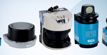
So, what is the TiM$10K Challenge? In this challenge, SICK reached out to universities across the nation that were looking to support innovation and student achievement in automation and technology. Participating teams were supplied with a SICK 270° LiDAR, a TiM, and accessories. They were challenged to solve a problem, create a solution, and bring a new application that utilizes the SICK scanner in any industry.
Developing the Road Stripe Evaluator
The team began their journey with several brainstorming sessions. They wanted to come up with an idea that was strong enough to bring to market, yet feasible to complete in the given time frame of the TiM$10K Challenge.
“We ended up with over 30 unique ideas listed on the board before we crossed out all but five,” Parvin said. “Those top five were loaded into a decision matrix for which the team assigned a point system to analytically select the best option.”
In the end, it was the Road Stripe Evaluator that won out.
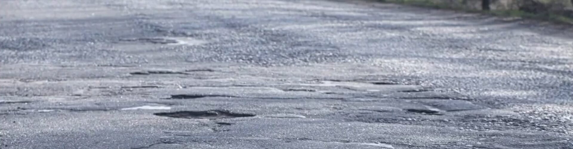
As automobiles continue to develop from traditional driver-reliant vehicles into autonomous and driver-assisted vehicles, they continue to rely more heavily on visible road markings. Modern vehicles use cameras, sensors, and computers that analyze road markings to ensure safe and efficient transportation for their passengers and the safety of bystanders. These markings are in frequent need of repainting due to weather effects and degradation from heavy vehicle use.
Degraded road markings serve as a serious safety concern to both traditional and driverless vehicles, and thus require constant maintenance.
“Nearly a third of all vehicular accidents in the United States were caused, at least in part, by poor road conditions. Faded paint markings are one of the leading contributors to these incidents,” Alessi said. “In 2012, this resulted in more than 16.6 million injuries and nearly 400,000 fatalities.”
How the Road Stripe Evaluator Works
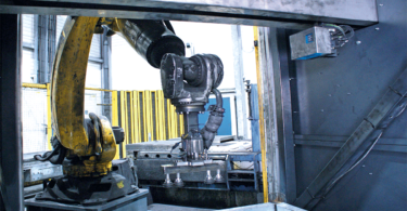
The stripe-evaluating software works by subscribing to a Robot Operating System (ROS) and analyzing the array of reflectivity values provided by the LiDAR in Python. These values are processed to determine where the road line exists and an average reflectivity value for it. Additional processing is applied to map the reflectivity to a scale more beneficial for a human operator- a scale of 1 to 10. This allows the user to define a threshold on this scale, below which road lines are considered inadequate and in need of repainting.
Built with the human operator in mind, the Road Stripe Evaluator’s user interface is simple to navigate.
A camera is mounted in tandem with the LiDAR unit, allowing the user to see the section of line the LiDAR is currently scanning. This also allows a visual-spectrum inspection of the road marking in addition to the reflectivity as measured by the LiDAR. The interface provides two outputs to the user: a raw reflectivity rating (1-10) and a label of good/bad which indicates if the line needs to be repainted.
Learn more about the creation and function of the Road Stripe Evaluator in this video:
Bumps in the Road
Like many of the teams in this TiM $10K Challenge, the Road Stripe Evaluator team was affected by COVID-19.
“It came as a complete shock to our team,” Parvin said. “COVID-19 was something we were completely unprepared for and did not account for in our project planning.”
Luckily for the team, they had already done most of the work by the time COVID-19 before the pandemic happened. The design and testing phases had been completed, and they were now focusing on the delivery phase: writing reports, validating the project, and developing the final video. These were all things that could easily be done remotely.
“It was important that we set a very detailed schedule from the start and stuck to it as best as possible,” Brushaber said. “Our time management was integral to our ability to deliver a fully functional project.”
Register for the 2020-2021 TiM$10K Challenge
![]()
SICK is now accepting entries for the TiM$10K Challenge for the 2020-2021 school year! Student teams can register online by September 14, 2020. Student teams are encouraged to use their creativity and technical knowledge to incorporate the SICK LiDAR for any industry in any application. Advisors/professors are allowed to guide the student teams as required.
This contest was supported by PMMI Foundation’s U Skills Fund. PMMI Foundation works to grow awareness of careers in packaging and processing, providing assistance to schools and programs that develop students to excel in the industry.