
Navigation and safety sensors are a winning combo for robots and AGVs
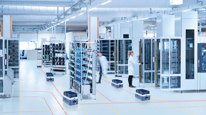
Robots and automated guided vehicle systems are taking on increasingly complex tasks and ensuring high availability and productivity, at least in theory—disruptions often occur in the process. Solutions are provided by intelligent, hybrid, and above all, holistic systems based on sensors from different technologies.
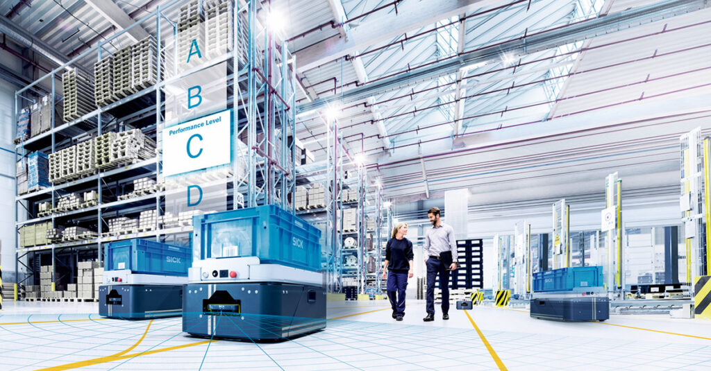
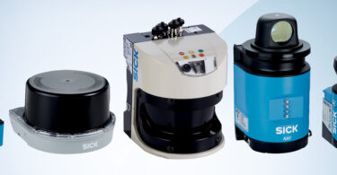
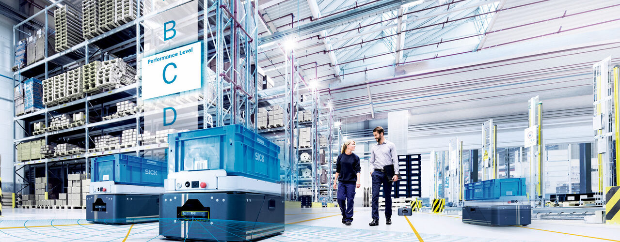
A wide variety of safety and localization solutions are used in intralogistics transport processes: laser scanners installed on automated guided vehicles (AGVs) prevent collisions and help automated vehicles navigate. To make this a reality, companies can choose from a large modular system of optical-magnetic line guidance systems, grid localization and contour localization based on aspects of economic efficiency and other specific circumstances. Each of these technologies has its own advantages as well as application-specific limitations.
If, for example, optical or magnetic line guidance is used due to a static route network or other frame parameters, it becomes costly to maintain and repair the track on the hall floor. This is because tracks, once recorded, are permanent. The AGVs cannot avoid obstacles and the subsequent damage causes the mobile platforms to come to a standstill, resulting in productivity losses. Changes or extensions to the routes also take time and are difficult to implement during operation.
Hello to intelligent combination of sensor technology: simple line guidance and highly flexible contour localization
What’s the solution? A hybrid approach that entails an intelligent combination of line guidance sensors with the safety sensors installed on the AGV. When tracking the physical guidelines, laser scanners continuously generate measurement data which creates a digital map from the surrounding contour using software. If the vehicle loses the line, the localization software detects this and switches to LiDAR-based contour localization. The AGV remains moving without interruption and productivity remains high.
This combination unites the advantages of easy-to-apply line guidance with highly flexible contour localization. It’s also no longer necessary for specialized personnel to map out the environment. It’s possible to combine the flexibility of contour localization when navigating in highly versatile environments with the repeatability of line guidance in long aisles or during docking operations. Reflectors make the system even more reliable in this respect.
Goodbye to manual management
For good scalability and a high degree of modularity, an extensive range of sensor technology from different technologies is required, as is an equally high-performance integration platform and software modules tailored to the application. This is the only way to handle the large number of applications that ensure reliable performance of the mobile platforms and a smooth material flow. However, the rigid definition of protective fields to date poses a problem in the environment of mobile robotics. Users have to manually calculate and manage many field geometries for the different vehicle states. The safety sensors and contour localization on the AGV can solve the task more effectively using an assistance system in this area as well: by specifying a single protective field based on certain characteristic values such as maximum speed, direction of travel and braking behavior, the safety laser scanner calculates all necessary fields. This is how the protective field size is dynamically adapted to the speed of the vehicle.
Clear classification of objects
Findings from localization can also be used for intelligent adaptation of safety functions in the future. This means AGVs will not only reliably measure protective field violations, but also distances, which can be used to clearly classify objects. It’s possible that mobile platforms will pass an object at undiminished speed because confusion with a moving obstacle can be ruled out.
The dynamization of the protective fields based on the measurement data significantly reduces the calculation and programming required for protective field sizes. This increases safety and reduces the size of the protective fields. The risk of faulty protective field violations is minimized, and less downtime leads to higher productivity overall.
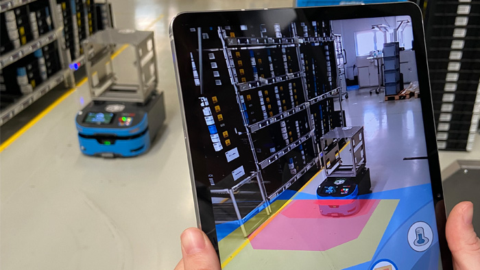
Understanding sensors with augmented reality
The apparent complexity of such highly automated systems naturally raises questions about how to control them. Intelligent graphical user interfaces are the answer. Such augmented reality apps make it possible to always maintain an overview of all sensor data. The user can visualize the sensor data directly on site with a smartphone and, for example, directly detect and rectify the object detection of a scanner with a stationary AGV. Calling a hotline and the associated costs and delays are a thing of the past. Systemic approaches and intuitive visualization tools ultimately ensure that the increased automation dynamics actually lead to an increase in productivity.