
Another team of students from Texas A&M University found success in the TiM$10K Challenge, earning a second-place title
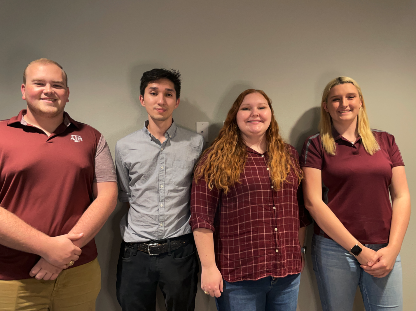
On many farms, crop growth is monitored through a sampling process where small sections of crops are measured, and the data is extrapolated to unsampled areas. The team from Texas A&M University consisting of Katherine Bernhardt, Blake Allen Carr, Jeffrey Fisher, and Christen Waite realized that this is an inefficient process for larger scale farms to monitor crop growth and developed a product named TYTO, named after barn owls.
 “We were thinking of different things you might see on a farm, and at first we thought to call it ‘Barn Owl project’ but didn’t like that eventually it led us to the scientific name for barn owls which is TYTO,” Bernhardt said.
With almost 900 million acres of farmland in America and no efficient way to survey and monitor the land, these students wanted to make a difference. The team also shared that one reason they were drawn to the agriculture industry is because, being students from Texas A&M, they realize agriculture is a big part of Texas.
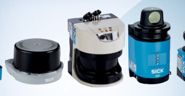
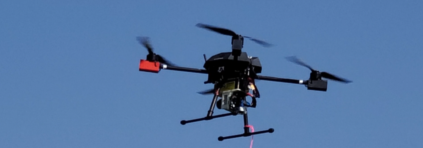
The TYTO Farm Surveying System includes a SICK TiM 2D LiDAR, a Raspberry Pi, and a Tarot 650 drone.
“We wanted to use the 2D LiDAR in a way we hadn’t seen done before. Our first idea was a restaurant service robot, but we thought that was too typical of an application,” said Fisher. “We had seen some drone LiDAR technology online, but we had never seen one with a 2D LiDAR and it seemed like a good challenge to tackle.”
The system works by focusing each drone flight on waypoints. The farmer can select waypoints using an iOS application that was also developed to accompany TYTO. The drone uses GPS to find each waypoint where it begins scanning. The scans are saved to the Raspberry Pi and then, once the system has connected to Wi-Fi, the data gets transferred to the iOS application.
“We knew that we needed a way for the farmer to visualize the data so we thought it would be cool to have an iOS app. It also made our solution a lot more real world because of that addition,” Fisher said.
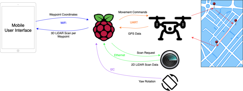
One area where the team struggled was trying to apply a 2D LiDAR in a situation where they needed a 3D application. After some thinking, they decided that instead of rotating the 2D LiDAR to collect their 3D scans, they would make the system spin the entire drone.
“We talked about flying the drone vertically or horizontally, but then we came up with the idea of rotating the drone. As you rotate the 2D scan you can get a 3D view. It took us quite a bit of time to come to this conclusion,” Fisher said.
Overall, the student’s development of innovative technology that could help the agricultural industry earned them a second-place win in this year’s TiM$10K challenge.
This contest was supported by PMMI Foundation’s U Skills Fund. PMMI Foundation works to grow awareness of careers in packaging and processing, providing assistance to schools and programs that develop students to excel in the industry.